
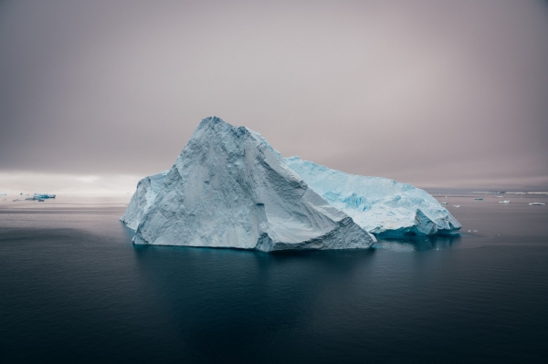
Scientists have trained an artificial intelligence or AI system to accurately map in one-hundredth of a second the surface area and outline of giant icebergs captured on satellite images.
Scientists have trained an artificial intelligence or AI system to accurately map in one-hundredth of a second the surface area and outline of giant icebergs captured on satellite images.
It is a major advance on existing automated systems which struggle to distinguish icebergs from other features in the image.
Human or manual interpretation of the satellite imagery is the other option and although the results are accurate, it can take several minutes to delineate the outline of a single iceberg. If that has to be repeated numerous times, the process quickly becomes time-consuming and laborious.
Icebergs have a significant impact on the polar environment and monitoring them is critical for both maritime safety and scientific study. They can be extremely large - in some cases the size of small countries - and can pose a risk to passing ships. As they melt, icebergs release nutrients and freshwater into the seas, and this can have an impact on marine ecosystems.
Read More: University of Leeds
Photo Credit: spalla67 via Pixbay


