
A new study offers a comprehensive multi-model, large-scale accuracy assessment of an operational satellite-based data system to compute evapotranspiration.
A new study offers a comprehensive multi-model, large-scale accuracy assessment of an operational satellite-based data system to compute evapotranspiration.
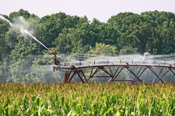
Sustainable water management is an increasing concern in arid regions around the world, and scientists and regulators are turning to remote sensing tools like OpenET to help track and manage water resources. OpenET uses publicly available data produced by NASA and USGS Landsat and other satellite systems to calculate evapotranspiration (ET), or the amount of water lost to the atmosphere through soil evaporation and plant transpiration, at the level of individual fields. This tool has the potential to revolutionize water management, allowing for field-scale operational monitoring of water use, and a new study provides a thorough analysis of the accuracy of OpenET data for various crops and natural land cover types.
In the study, published Jan. 15 in Nature Water, DRI scientists led a large team of researchers in a comparison of OpenET data to evapotranspiration data produced by 152 ground-based micrometeorological stations known as eddy covariance flux towers. The researchers found that OpenET data has high accuracy for assessing evapotranspiration in agricultural settings, particularly for annual crops like wheat, corn, soy, and rice. OpenET results for these crops were particularly reliable in arid regions like California and the Southwest, supporting the use of this tool to address an ongoing regional water sustainability crisis.
Read more at Desert Research Institute
Photo Credit: JCFUL via Pixabay


