
Using New York as a test case, the model predicts flooding at the level experienced during Hurricane Sandy will occur roughly every 30 years by the end of this century.
Using New York as a test case, the model predicts flooding at the level experienced during Hurricane Sandy will occur roughly every 30 years by the end of this century.
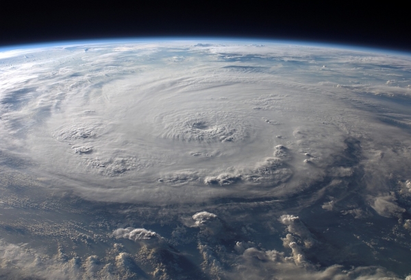
Coastal cities and communities will face more frequent major hurricanes with climate change in the coming years. To help prepare coastal cities against future storms, MIT scientists have developed a method to predict how much flooding a coastal community is likely to experience as hurricanes evolve over the next decades.
When hurricanes make landfall, strong winds whip up salty ocean waters that generate storm surge in coastal regions. As the storms move over land, torrential rainfall can induce further flooding inland. When multiple flood sources such as storm surge and rainfall interact, they can compound a hurricane’s hazards, leading to significantly more flooding than would result from any one source alone. The new study introduces a physics-based method for predicting how the risk of such complex, compound flooding may evolve under a warming climate in coastal cities.
One example of compound flooding’s impact is the aftermath from Hurricane Sandy in 2012. The storm made landfall on the East Coast of the United States as heavy winds whipped up a towering storm surge that combined with rainfall-driven flooding in some areas to cause historic and devastating floods across New York and New Jersey.
Read more at Massachusetts Institute of Technology
Photo Credit: WikiImages via Pixabay


