
In August of 2021, rain fell atop the 10,551-foot summit of the Greenland ice cap, triggering an epic meltdown and a more-than-2,000-foot retreat of the snowline.
In August of 2021, rain fell atop the 10,551-foot summit of the Greenland ice cap, triggering an epic meltdown and a more-than-2,000-foot retreat of the snowline. The unprecedented event reminded Joel Harper, a University of Montana glaciologist who works on the Greenland ice sheet, of a strange anomaly in his data, one that suggested that in 2008 it might have rained much later in the season — in the fall, when the region is typically in deep freeze and dark for almost 24 hours a day.
When Harper and his colleagues closely examined the measurements they’d collected from sensors on the ice sheet those many years ago, they were astonished. Not only had it rained, but it had rained for four days as the air temperature rose by 30 degrees C (54 degrees F), close to and above the freezing point. It had warmed the summit’s firn layer — snow that is in transition to becoming ice — by between 11 and 42 degrees F (6 and 23 degrees C). The rainwater and surface melt that followed penetrated the firn by as much as 20 feet before refreezing, creating a barrier that would alter the flow of meltwater the following year.
All that rain is significant because the melting of the Greenland ice sheet — like the melting of other glaciers around the world — is one of the most important drivers of sea level rise. Each time a rain-on-snow event happens, says Harper, the structure of the firn layer is altered, and it becomes a bit more susceptible to impacts from the next melting event. “It suggests that only a minor increase in frequency and intensity of similar rain-on-snow events in the future will have an outsized impact,” he says.
Read more at: Yale Environment 360
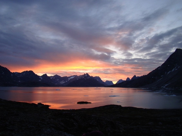
Photo Credit: barbara56 via Pixabay


