
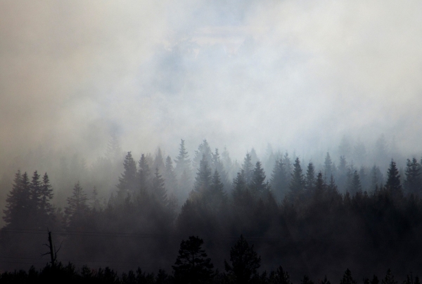
The same weather system that led to the spread of the devastating Labor Day wildfires in 2020 brought record-breaking cold and early-season snowfall to parts of the Rocky Mountains.
The same weather system that led to the spread of the devastating Labor Day wildfires in 2020 brought record-breaking cold and early-season snowfall to parts of the Rocky Mountains. Now, new research from Portland State is shedding light on the meteorology behind what happened and the impacts of such an extreme weather event.
“It’s really interesting to see such an amplified pattern result in opposing extremes in the Pacific Northwest and the Rocky Mountains,” said Emma Russell, a master’s student in geography and lead author of the study published in the journal Weather and Climate Extremes.
A high-pressure ridge was responsible for the extremely warm temperatures leading up to the event. Russell said the primary atmospheric driver was a highly amplified wave pattern — the strongest on record for that time of year — that persisted for several days. The wave broke, much like an ocean wave breaks, bringing about a strong wind event over western Oregon.
“Even for winter, that would have been a very strong wind event, but for early September, there’s nothing in the observational record quite that strong,” said Paul Loikith, an associate professor of geography and director of PSU’s Climate Science Lab.
Read more at Portland State University
Photo Credit: BlenderTimer


