
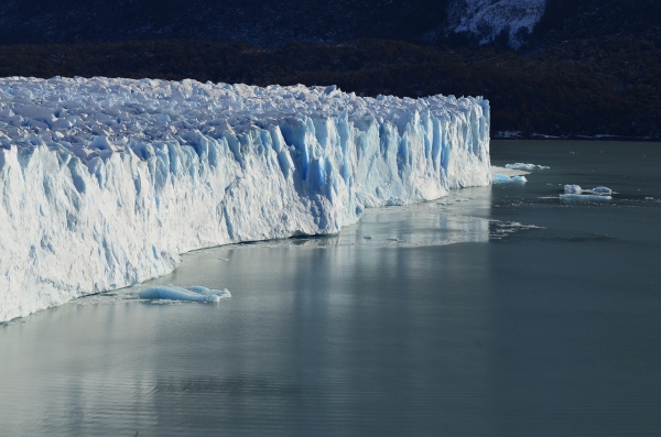
Over the last four decades, warming climate and ocean temperatures have rapidly altered the Greenland Ice Sheet, creating concern for marine ecosystems and weather patterns worldwide.
Over the last four decades, warming climate and ocean temperatures have rapidly altered the Greenland Ice Sheet, creating concern for marine ecosystems and weather patterns worldwide. The environment has challenged scientists in their attempts to measure how water moves around and melts the ice sheet because equipment can be destroyed by icebergs floating near the glaciers.
Collected using a novel approach, research from the University of Maine has unearthed new information to help scientists better understand circulation patterns of ocean water around glaciers. A group of pioneers in glacial research attached GPS devices to icebergs and used their mobility to understand fjord circulation, which can ultimately enhance the accuracy of climate models.
In the summers of 2014 and 2019, the GPS devices tracked hourly changes in the position of 13 icebergs as they passed through Greenland’s Ilulissat Icefjord toward the ocean. Starting as research during her time at the University of Oregon, UMaine assistant professor of geomatics Kristin Schild collected the fjord data with a colleague from UO, earth sciences professor and oceanographer David Sutherland. In 2020, an undergraduate student, Sydney Baratta, used these datasets as the focus of her senior capstone project. Continuing the research into her graduate studies, Baratta processed and analyzed her findings and recently published the results in the Journal of Geophysical Research: Oceans.
Read more at University of Maine
Photo Credit: Pexels via Pixabay


