
Featuring four new localities, the updated report cards show past and projected rates of sea level rise and acceleration for 36 U.S. coastal communities in a new, interactive dashboard.
Featuring four new localities, the updated report cards show past and projected rates of sea level rise and acceleration for 36 U.S. coastal communities in a new, interactive dashboard.
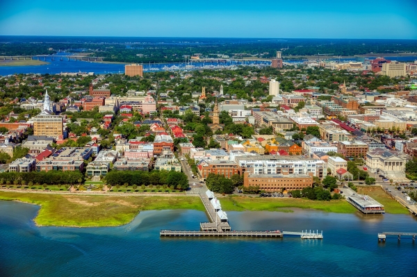
William & Mary’s Batten School & VIMS have released their 2024 U.S. sea level “report cards,” providing updated analyses of sea level trends and projections for 36 coastal communities. Encompassing 55 years of historical data, the report cards aid planning and adaptation efforts by analyzing rates of sea level rise and acceleration at each locality and forecasting 2050 water levels.
This year, the report cards are consolidated in an interactive dashboard and add data from tide gauge stations in Annapolis, MD; Solomons Island, MD; Yorktown, VA; and Fort Myers, FL.
Read more at Virginia Institute of Marine Science
Photo Credit: Pixabay


