
The earthquake that rocked Alaska for close to five minutes on March 27, 1964, remains the most powerful earthquake recorded in U.S. history. It registered a magnitude of 9.2 on the Richter scale and generated a tsunami that killed people as far south as California. The earthquake also changed the nature of the land surrounding its epicenter near Prince William Sound.
The earthquake that rocked Alaska for close to five minutes on March 27, 1964, remains the most powerful earthquake recorded in U.S. history. It registered a magnitude of 9.2 on the Richter scale and generated a tsunami that killed people as far south as California. The earthquake also changed the nature of the land surrounding its epicenter near Prince William Sound.
Now, researchers from the University of Washington, led by Kendall Valentine, an assistant professor of oceanography at UW, the University of Rhode Island and the Desert Research Institute are traveling to Anchorage and the Copper River Delta to study marshes that formed in the years following the earthquake. Few geomorphologists have been to this region, and no one has compared the Alaskan marshes to those in more temperate regions. The ecological implications are significant for local wildlife and Alaskan communities.
Valentine has spearheaded similar interdisciplinary projects at the Willapa salt marsh in Washington with the goal of understanding how the ecosystem is adapting to climate change. In Alaska, she will co-lead a team of five early career researchers, and they will capture video and photos throughout their trip.
Valentine answered a few questions about her work for the occasional series “In the Field,” which highlights UW field efforts.
Read More: University of Washington
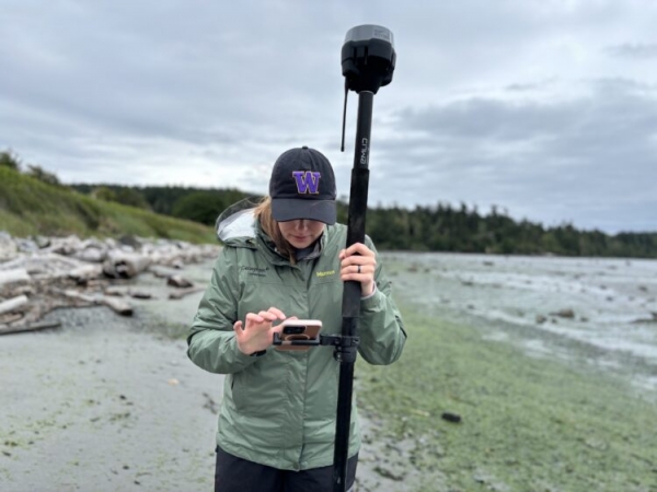
Image: Kendall Fontenot, a graduate student in Kendall Valentine’s oceanography lab at the University of Washington, using field equipment the team will also take to Alaska. (Credit: Kendall Valentine)


