
The most powerful earthquake in U.S. history originated along the south coast of Alaska on March 27, 1964.
The most powerful earthquake in U.S. history originated along the south coast of Alaska on March 27, 1964. It measured 9.2 on the Richter scale, triggered a tsunami that endangered people as far south as California, and altered the Alaskan landscape dramatically.
When the earthquake lowered or lifted land in areas such as Anchorage and the Copper River Delta, it created a new, complex landscape of coastal wetlands. Since the powerful quake, salt marshes have reemerged, providing habitats for shorebirds, salmon, beaver, and moose. These wetlands have a significant impact on wildlife, coastal flood protection, pollutant trapping, nutrient distribution, and carbon storage, but questions remain about their geology and ecology.
Erin Peck, an assistant professor in the Graduate School of Oceanography at the University of Rhode Island, traveled to Alaska this summer with Emily Hall, who is pursuing a master’s degree in oceanography at URI, to study these seasonally thawed, tectonically active marshes. Peck co-led the expedition with Kendall Valentine, an assistant professor from the University of Washington, and Sophia Wensman, a researcher from the Desert Research Institute. Kendall Fontenot, a graduate student from Valentine’s lab, was the fifth member of the team.
Read More at: University of Rhode Island
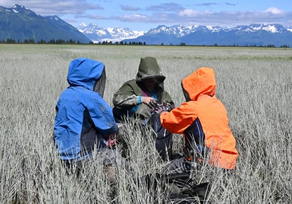
From left, researchers Erin Peck, Kendall Valentine, and Emily Hall extract a short sediment core from a salt marsh in Alaska’s Copper River Delta. (Photos Credit: Sophia Wensman)


