
A new artificial intelligence (AI) tool developed by researchers at the University of Hawaiʻi at Mānoa is making it easier for scientists to explore complex geoscience data—from tracking sea levels on Earth to analyzing atmospheric conditions on Mars.
A new artificial intelligence (AI) tool developed by researchers at the University of Hawaiʻi at Mānoa is making it easier for scientists to explore complex geoscience data—from tracking sea levels on Earth to analyzing atmospheric conditions on Mars. Their work was published in the Journal of Geophysical Research: Machine Learning and Computation.
“We built a prototype assistant that lets scientists ask plain-language questions and get back working code, clear explanations, and even publication-ready figures—in minutes,” said Matthew Widlansky, lead author of the study and associate director of the UH Sea Level Center, which is part of the Cooperative Institute for Marine and Atmospheric Research in the UH Mānoa School of Ocean and Earth Science and Technology (SOEST). “Our goal was to lower the barrier between geophysical data and the people trying to understand it.”
The system, Intelligent Data Exploring Assistant (IDEA), connects artificial intelligence from OpenAI—similar to what powers ChatGPT—to data archives of the UH Sea Level Center. Widlansky and Nemanja Komar, co-author on the study and the software engineer behind the project, then equipped IDEA with specialized instructions, essentially a digital user manual for interpreting sea level data. When a user asks a question, the AI generates computer code, which is then safely executed on a secure UH computer.
Read More: University of Hawaii
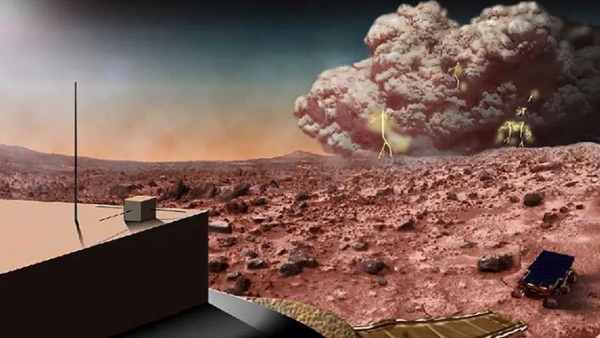
Image: This artist’s concept illustrates a Martian dust storm. (Photo credit: NASA)


