
Data from Sentinel-6B will continue a decades-long record of sea surface height, helping to improve coastal planning, protect critical infrastructure, and advance weather forecasts.
Data from Sentinel-6B will continue a decades-long record of sea surface height, helping to improve coastal planning, protect critical infrastructure, and advance weather forecasts.
With launch set for no earlier than 12:21 a.m. EST Monday, Nov. 17, Sentinel-6B is the latest satellite in a series of spacecraft NASA and its partners have used to measure sea levels since 1992. Their data has helped meteorologists improve hurricane forecasts, managers protect infrastructure, and coastal communities plan.
After launch, Sentinel-6B will begin the process of data cross-calibration with its predecessor, Sentinel-6 Michael Freilich, to provide essential information about Earth’s ocean.
Read more at: NASA
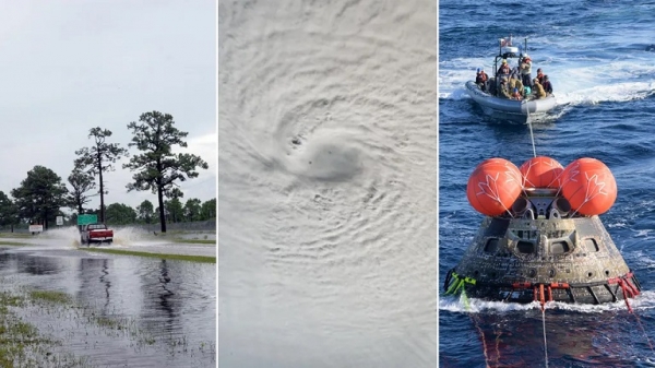
Set to launch no earlier than Nov. 16, Sentinel-6B will continue a decades-long data record of sea level measurement that will help decision-makers manage coastal flooding, support hurricane intensity forecasts, and assist in the return of astronauts from space. (Photo Credit: NASA)


