
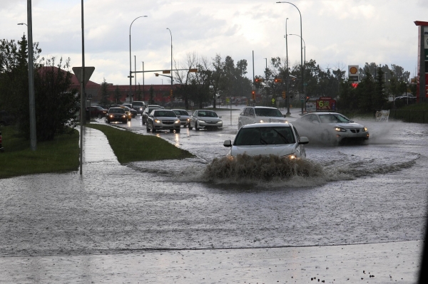
When engineers and planners design roads, bridges and dams, they rely on hydrological models intended to protect infrastructure and communities from 50- and 100-year floods.
When engineers and planners design roads, bridges and dams, they rely on hydrological models intended to protect infrastructure and communities from 50- and 100-year floods. But as climate change increases the frequency and severity of floods, existing models are becoming less and less reliable, new Cornell research finds.
To combat this uncertainty, physics-based models should be supplemented with AI hydrological models, and creating regional flooding estimates, rather than relying on site-specific estimates, according to the study, publishing in the January 2026 issue of the Journal of Hydrology.
“Models are simplified representations of the real world, so we validate them against past observations to ensure they work well under historical conditions,” said first author Sandeep Poudel, a doctoral student in the lab of Scott Steinschneider, associate professor of biological and environmental engineering. “However, climate change is making droughts and floods more frequent and severe. This means the future won’t look like the past, which leads to a crucial question: How much should we trust our models that were validated on historical data to make projections for the future? And which models are better suited for long-term water infrastructure planning?”
Read More: Cornell University
Photo Credit: AllThingsCoastal via Pixabay


