
A new study pieces together existing data sources in order to develop a detailed, dynamic picture of auto emissions.
A new study pieces together existing data sources in order to develop a detailed, dynamic picture of auto emissions.
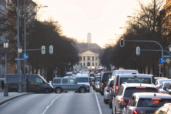
In a study focused on New York City, MIT researchers have shown that existing sensors and mobile data can be used to generate a near real-time, high-resolution picture of auto emissions, which could be used to develop local transportation and decarbonization policies.
The new method produces much more detailed data than some other common approaches, which use intermittent samples of vehicle emissions. The researchers say it is also more practical and scales up better than some studies that have aimed for very granular emissions data from a small number of automobiles at once. The work helps bridge the gap between less-detailed citywide emissions inventories and highly detailed analyses based on individual vehicles.
“Our model, by combining real-time traffic cameras with multiple data sources, allows extrapolating very detailed emission maps, down to a single road and hour of the day,” says Paolo Santi, a principal research scientist in the MIT Senseable City Lab and co-author of a new paper detailing the project’s results. “Such detailed information can prove very helpful to support decision-making and understand effects of traffic and mobility interventions.”
Read More: Massachusetts Institute of Technology (MIT)
Photo Credit: planet_fox via Pixabay


