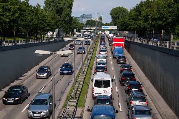
Urban planning needs to tackle greenhouse gas emissions – and an important way to achieve this is by reducing the number and length of car commutes.
Urban planning needs to tackle greenhouse gas emissions – and an important way to achieve this is by reducing the number and length of car commutes. This can be achieved primarily by ensuring that homes are located close to city centres and workplaces, so well-targeted building densification becomes a critical lever. City-wide population density and transport links are of secondary importance. These are the findings of a new study in Environmental Research Letters, led by the Potsdam Institute for Climate Impact Research (PIK) in collaboration with the University of California, Berkeley, the University of Sussex and other partners.
Using ten million mobility data points from Berlin, Boston, Los Angeles, the San Francisco Bay Area, Rio de Janeiro and Bogotá, the research team was able to reveal direct links between urban structure and car commuting with unprecedented detail, beyond mere correlations. The newly developed approach shows how planners can use GPS data, travel patterns and artificial intelligence to determine where in a metropolitan region a particular measure will have the greatest impact.
“Our model reveals the actual interdependencies between various urban factors even before we determine their specific effects,” explains Felix Wagner, who completed his PhD at PIK in 2025 and led the study as part of his doctoral research. “This fundamentally changes the recommendations that can be responsibly given to planners. Distances to city centres and working places are key. And urban densification cannot be viewed in isolation: one must understand how urban density relates to secondary factors such as connectivity, accessibility and the choice of residential location.”
Read More: Potsdam Institute for Climate Impact Research (PIK)
Photo Credit: stux via Pixabay