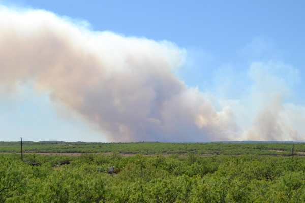
In recent summers, wildfire smoke has been inescapable across Wisconsin, drifting south from Canada and leading to long stretches of poor air quality.
In recent summers, wildfire smoke has been inescapable across Wisconsin, drifting south from Canada and leading to long stretches of poor air quality. Whether that smoke clears or lingers is often influenced in part by the atmospheric boundary layer — the lowest part of the atmosphere, where airborne particles mix and move.
At night or during cooler weather, the boundary layer compresses toward the ground, sometimes to heights below 100 meters above the surface. Under these conditions, pollutants, including smoke, can become trapped near the surface, increasing exposure and health risks. During the day, as the ground warms, the boundary layer rises and can reach heights of 2,000 meters, enhancing vertical mixing and the dispersion of pollutants. Tracking these changes in near real time is critical for predicting how pollution levels shift and how they may affect public health.
In a new study, University of Wisconsin–Madison statistics professor Chris Geoga and atmospheric scientist Paytsar Muradyan of Argonne National Laboratory are tackling this challenge using machine learning and high-resolution data. Using data from the Department of Energy’s CROCUS Urban Integrated Field Laboratory — a large-scale collaboration led by Argonne — the team developed a model that can estimate boundary layer height in near real time. The work is an important step toward helping public health officials better anticipate how air quality conditions, including smoke impacts, may change — and provide earlier warnings to the public.
Read more at: University of Wisconsin-Madison
Photo Credit: PublicDomainPictures via Pixabay