Researchers have shown how dramatic sea level rise, over a 5,000 year period, profoundly changed the coasts of northern Italy, Slovenia and northern Croatia.
Researchers have shown how dramatic sea level rise, over a 5,000 year period, profoundly changed the coasts of northern Italy, Slovenia and northern Croatia.
Successive shaping and reshaping of coastal features influenced the lives of Mesolithic and Neolithic people, and the development of local communities. Land once roamed by hunter-gathers and later tended by farmers, now lies deep beneath the sea.
Led by the University of Southampton, UK with the National Institute of Oceanography and Applied Geophysics (OGS), Italy, the study reconstructs the evolution of the region’s landscape between 9,000 and 4,000 BC.
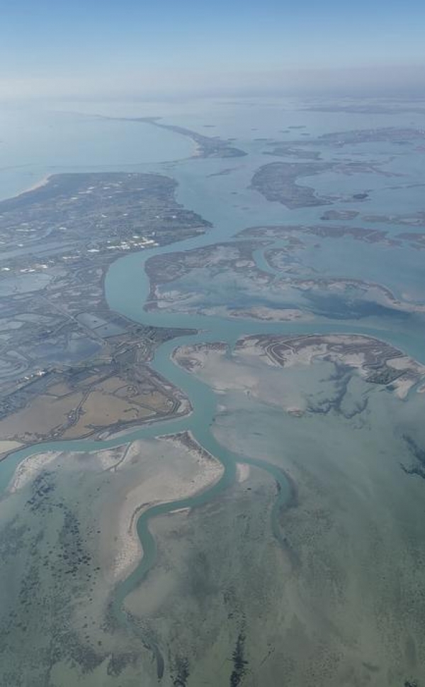
It shows how, over millennia, staggered rises in sea level – at times up to 25 millimetres per year – transformed the landscape and progressively submerged plains to create wetlands and lagoons. As the sea rose, pushing inland, it swallowed up features it had previously formed, shaped new ones, and eventually formed the origins of the coast we see today.
Read More: University of Southampton
Image: Aerial image of Venice Lagoon (Credit: S Ongaro)