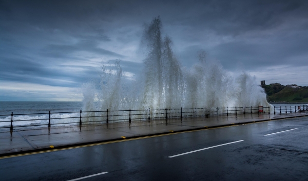
A new comprehensive study by researchers at the University of Hawaiʻi (UH) at Mānoa Climate Resilience Collaborative reveals that traditional sea-level rise models, that account only for rising ocean waters, drastically underestimate the true threat to coastal infrastructure on Oʻahu, Hawai‘i.
A new comprehensive study by researchers at the University of Hawaiʻi (UH) at Mānoa Climate Resilience Collaborative reveals that traditional sea-level rise models, that account only for rising ocean waters, drastically underestimate the true threat to coastal infrastructure on Oʻahu, Hawai‘i. By incorporating shoreline erosion and high-wave events, in addition to rising sea levels, researchers found that current single-hazard projections overlook up to two-thirds of threatened land area on and up to 85% to 100% of critical infrastructure, such as buildings, roadways, and cesspools, that are likely to be impacted.
“This tells us that it is critical to use multiple hazard models, and that areas with little data, such as other Pacific Islands, that rely on simpler passive flood model estimates may be underestimating the risk to their coastal infrastructure,” said Anna Mikkelsen, lead author and graduate student in the Department of Earth Sciences in the UH Mānoa School of Ocean and Earth Science and Technology (SOEST).
The study updates previous sea-level rise vulnerability estimates for Oʻahu using high-resolution interagency climate projections. Researchers overlaid three advanced physical models—accounting for flooding from rising water levels, shoreline erosion, and annual high wave events—onto maps of buildings, parcels, roads, schools, hospitals, parks, wastewater infrastructure, and resident population.
Read More: University of Hawaii at Manoa
Photo Credit: TimHill via Pixabay