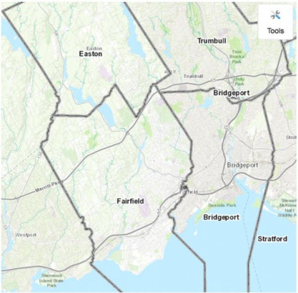
In the wake of a major storm, like the one that battered the Connecticut shoreline in 2012, community resilience could depend on communication.

In the wake of a major storm, like the one that battered the Connecticut shoreline in 2012, community resilience could depend on communication.
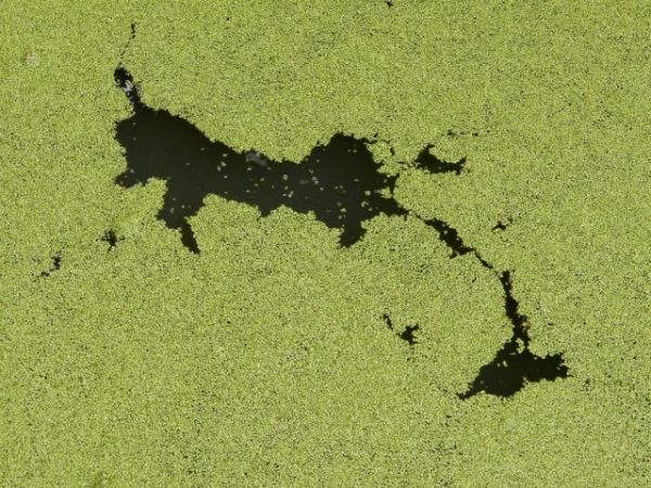
Griffith University researchers have shown that leaf litter can play an important role in controlling algal blooms.
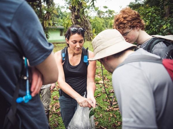
Using a 22-year dataset of plant-caterpillar-parasitoid interactions collected within a patch of protected Costa Rican lowland Caribbean forest, scientists report declines in caterpillar and parasitoid diversity and density that are paralleled by losses in an important ecosystem service: biocontrol of herbivores by parasitoids.
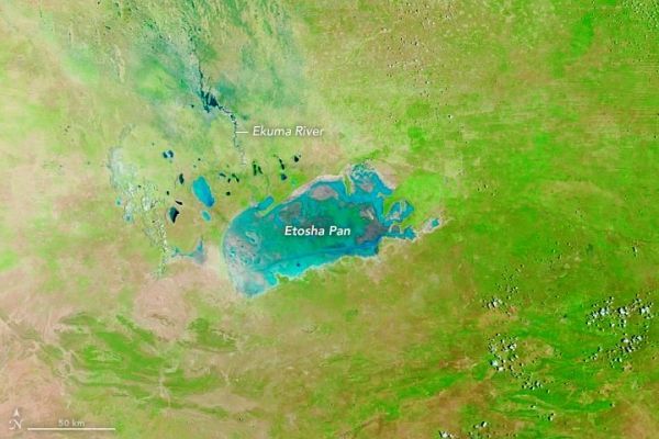
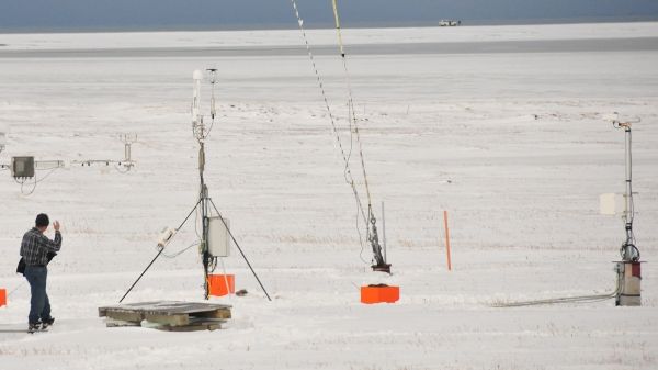
For much of the year, the salt pan is bone dry. But when the wet season brings abundant rains, the large, shallow basin becomes a temporary oasis.
Permafrost, the perennially frozen subsoil in Earth’s northernmost regions, has been collecting and storing plant and animal matter since long before the last Ice Age.
Crater is 200 million years older than the previously oldest known crater.


