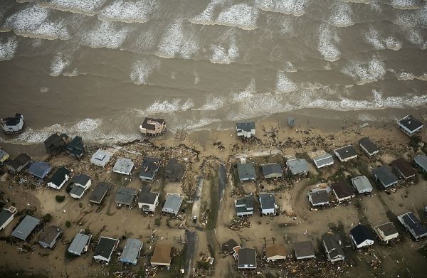
Professor William Merrell says the plan proposed after Hurricane Ike in 2008 is still needed, and the Texas coast could again face catastrophic damage.

Professor William Merrell says the plan proposed after Hurricane Ike in 2008 is still needed, and the Texas coast could again face catastrophic damage.
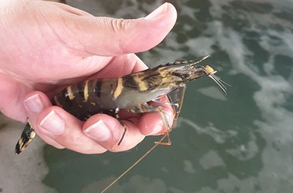
New research from Southern Cross University has highlighted the importance of managing the potential impacts of pesticide run-off in areas of intensive coastal agriculture.

The analysis examines the overlap between opportunities for tropical forest restoration, human populations, development and national policies for community forest ownership.
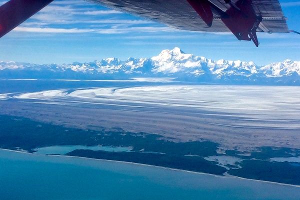
University of Montana researchers and partner institutions will use computer modeling to study the impact of climate change on Alaska’s Malaspina Glacier.
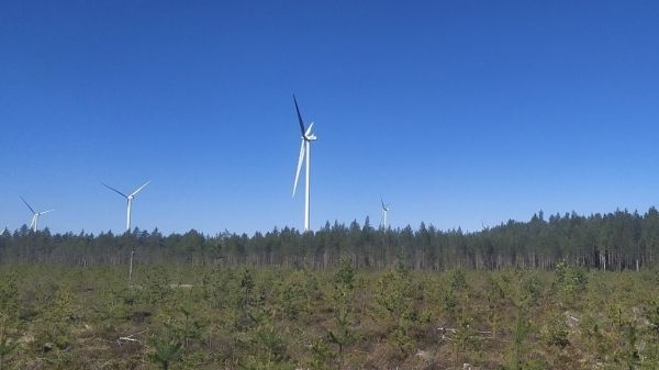
Despite the increasing numbers of wind turbines, their impacts on the environment are poorly known.
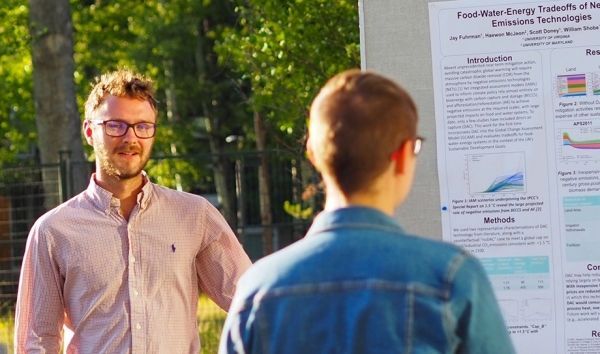
In Nature Climate Change paper, researchers say the world needs to consider tradeoffs of untested technologies before dismissing known options such as immediate carbon emissions reductions.


