Biologist James Stroud’s phone started buzzing early on Jan. 22. A friend who was bicycling to work past the white sands and palm tree edges of Key Biscayne, an island town south of Miami, sent Stroud a picture of a 2-foot-long lizard splayed out on its back. With its feet in the air, the iguana took up most of the sidewalk.

articles
Diagnosing Parkinson’s Disease with Skin Samples Could Lead to Earlier Detection

New research shows a simple skin test can accurately identify Parkinson’s disease, demonstrating for the first time the feasibility of the method.
Preventing a COVID-19 Pandemic—in Wildlife
Martin Nweeia of Case Western Reserve University forms international research team to study coronavirus susceptibility of arctic whale.
Legacy Pollutants Found in Migratory Terns in Great Lakes Region
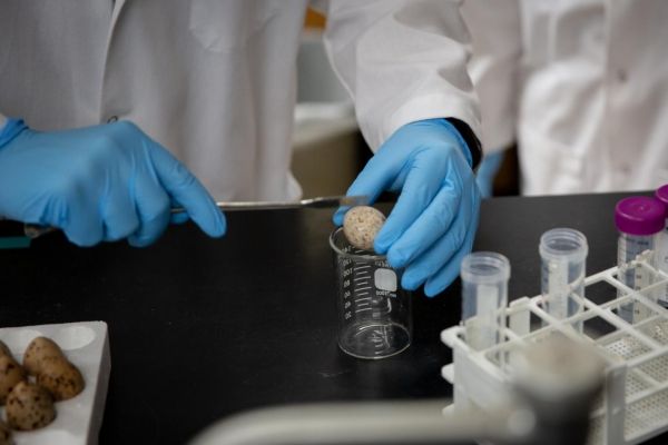
Chemicals that haven’t been manufactured in the U.S. for years or even decades are still turning up in the bodies of migratory terns in the Great Lakes region, a new study finds.
Deep Magma Facilitates the Movement of Tectonic Plates
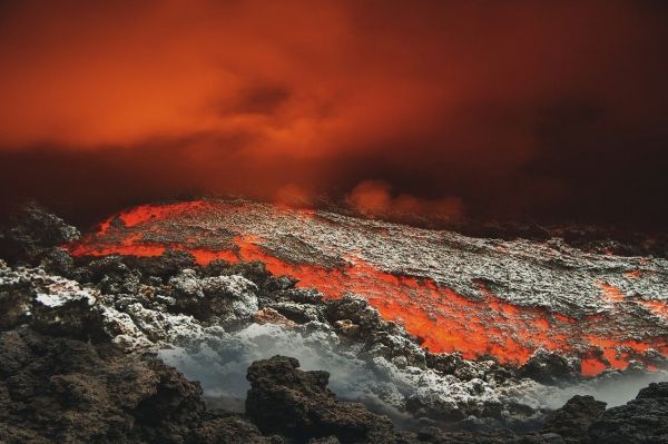
A small amount of molten rock located under tectonic plates encourages them to move.
High Flavanol Diets May Lead to Lower Blood Pressure
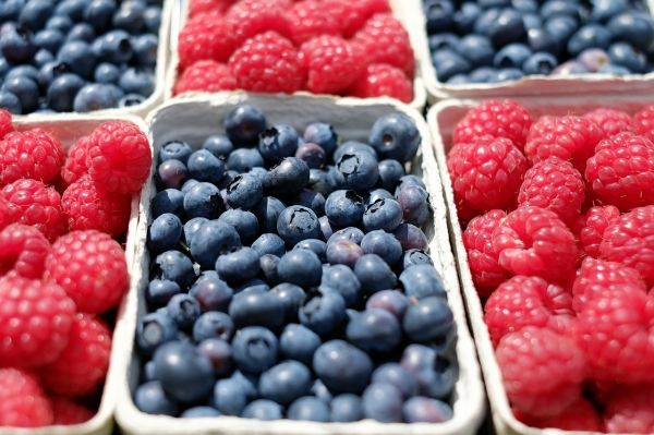
People who consume a diet including flavanol-rich foods and drinks, including tea, apples and berries, could lead to lower blood pressure, according to the first study using objective measures of thousands of UK residents’ diet.


