
Interactive story maps illustrate valuable contributions Maritime salt marshes make to our planet.

Interactive story maps illustrate valuable contributions Maritime salt marshes make to our planet.

The profound threat of future climate change to biodiversity demands that scientists seek ever more effective ways to identify the most vulnerable species, communities, and ecosystems.
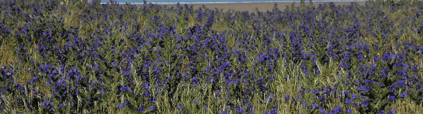
Coastal plant communities are a crucial element of global sea defences but are increasingly threatened by the human-induced effects of climate change, according to new research.

By figuring out how a common virus hides from the immune system, scientists have identified a potential vaccine to prevent sometimes deadly respiratory infections in humans.
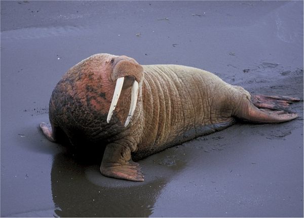
A year-round acoustic study of marine mammals in the northern Bering Sea is providing scientists with a valuable snapshot of an Arctic world already under drastic pressure from climate change, according to WCS (Wildlife Conservation Society), Columbia University, Southall Environmental Associates, and the University of Washington.
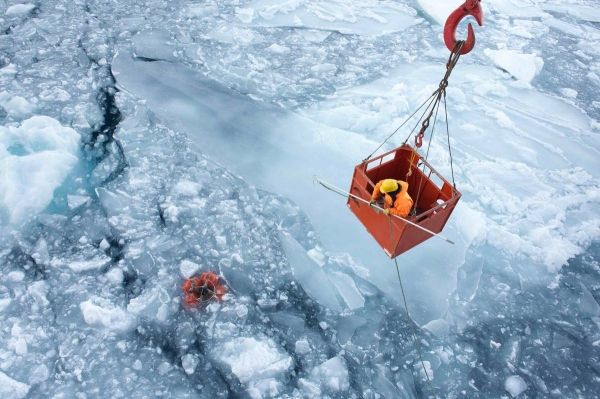
The Greenland Ice Sheet is melting faster today than it did only a few years ago.


