
New research has revealed significant changes to Alaska’s landscape in recent decades.
New research has revealed significant changes to Alaska’s landscape in recent decades. During the past 32 years, about 13 percent of the state -- 67,000 square miles or an area larger than the state of Wisconsin -- has changed, according to a new USGS-led study in collaboration with researchers from academia (e.g. University of Minnesota) and other federal agencies (e.g. NASA ABoVE [Arctic-Boreal Vulnerability Experiment]).
This is the first study to document more than three decades of land and water changes across Alaska, and it is the first study to quantify the underlying drivers of those changes, which is vital for understanding how these systems may continue to change.
Alaska has experienced glacial retreat, shrub and treeline expansion, wildfires, erosion, pollution disturbances, and other changes over the last 32 years. Most of that change occurred in boreal regions due to the residual effects of fires that are still apparent after 60 years.
To fingerprint the sensitivity of Alaska’s ecosystems to changing environmental conditions and disturbances, the team of researchers combined aerial photography, satellite imagery (e.g. Landsat) and climate data into an integrated modeling framework. As a result, according to lead author Neal Pastick, the study provided the most detailed and comprehensive reconstruction of modern-day landscape transformation in Alaska to date.
Continue reading at USGS.
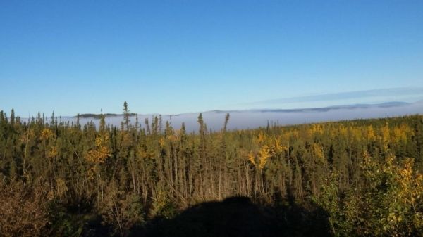
Image via USGS.


