
Former Tropical Storm Beryl doesn't seem to want to dissipate into hurricane history. Visible data from NASA's Terra satellite captured the the remnants of Beryl lingering north of the Bahamas.
Former Tropical Storm Beryl doesn't seem to want to dissipate into hurricane history. Visible data from NASA's Terra satellite captured the the remnants of Beryl lingering north of the Bahamas.
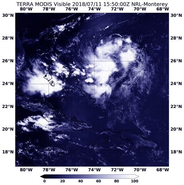
When NASA's Terra satellite passed over the northwestern Atlantic Ocean on July 11 at 11:50 a.m. EDT (1550 UTC), the Moderate Resolution Imaging Spectroradiometer or MODIS instrument provided a visible light picture of the storm. At that time, Beryl, appearing as scattered storms, was still affecting the part of the Bahamas, but continued to move to the northeast.
On July 12, the National Hurricane Center (NHC) noted that the area of disorganized showers and thunderstorms associated with the remnants of Beryl had moved to about midway between the Bahamas and Bermuda.
Read more at NASA / Goddard Space Flight Center
Image: NASA's Terra satellite passed over Beryl's remnants on July 11 at 11:50 a.m. EDT (1550 UTC). Beryl was still affecting the part of the Bahamas but continued to move to the northeast.
CREDITS: NASA / NRL


