
To help project sea level rise along the Washington coastline in a newly released report, two University of Oregon researchers looked to the land.
To help project sea level rise along the Washington coastline in a newly released report, two University of Oregon researchers looked to the land.
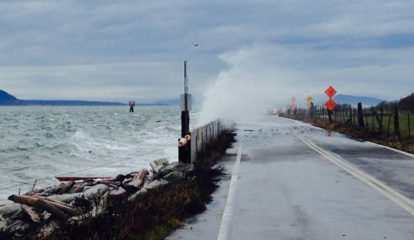
The report, led by Washington Sea Grant and the University of Washington’s Climate Impacts Group, estimates a rise of about 1.5 feet to 7 feet by 2100 for Oregon’s northern neighbor. The lower end of the projection assumes limits on greenhouse emissions. The higher level assumes greenhouse gas limits and also includes the latest science on the effects of melting Antarctic glaciers under certain scenarios.
The report provides probabilistic estimates for 171 coastal sites each decade from now until 2150, from Neah Bay to the San Juan Islands to Olympia. It is based on updated science, the 2012 national report for sea level rise along the West Coast and a 2008 report led by UW's Climate Impacts Group.
Coming up with the projections was complicated. Land motion, such as vertical uplift at Neah Bay and sinking in Seattle, if not included, could skew actual sea level rise.
Continue reading at University of Oregon.
Image via University of Oregon.


