
Data acquired by the U.S. Geological Survey on the U.S. Atlantic Margin in August 2018 reveal new information about the distribution of gas hydrates in the sector stretching from the upper continental slope to deep water areas offshore New Jersey to North Carolina.
Data acquired by the U.S. Geological Survey on the U.S. Atlantic Margin in August 2018 reveal new information about the distribution of gas hydrates in the sector stretching from the upper continental slope to deep water areas offshore New Jersey to North Carolina. The Mid-Atlantic Resource Imaging Experiment (MATRIX), which was jointly sponsored by the USGS Coastal/Marine Hazards and Resources Program (CMHRP), the Methane Hydrates R&D Program at the Department of Energy, and the Bureau of Ocean Energy Management, acquired more than 2,000 kilometers (about 1,240 statute miles) of marine seismic data that image gas hydrate features and other geologic structures below the seafloor.
Gas hydrate forms naturally in seafloor sediments when methane and water combine at moderate pressures and relatively low temperatures. Gas hydrate deposits resemble ice, and they concentrate enormous amounts of methane in the global oceans and in permafrost areas. On the U.S. Atlantic Margin, BOEM had previously identified potential deep water gas hydrate accumulations that guided planning for MATRIX. In fact, the sediments of deep marine continental margins host nearly 99 percent of the world’s gas hydrate.
The MATRIX data capture images 1 to 3 km (about 3,300 to 9,800 ft) below the seafloor and provide new information about the distribution of a key seismic indicator linked to the presence of gas hydrate. The data also reveal shallow gas deposits and structural features beneath some of the hundreds of seafloor methane seeps discovered along the Atlantic Margin since 2011. Images include submarine landslide deposits, shallow faults, and sedimentary markers considered important in interpreting the history of the Atlantic Ocean basin to inform assessment of geologic hazards along the eastern seaboard.
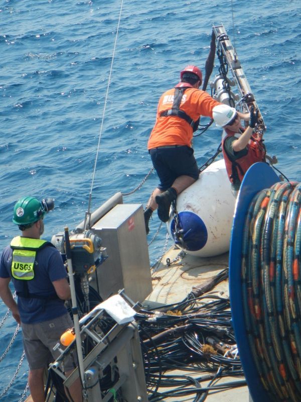
During MATRIX, USGS scientists and operational staff from CMHRP were joined by BOEM scientists, protected species visual observers, and outside technicians aboard the research vessel (R/V) Hugh R. Sharp, which is owned and operated by the University of Delaware as part of the University-National Oceanographic Laboratory System.
Continue reading at USGS.
Image via USGS.


