
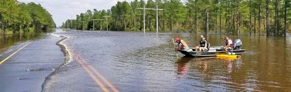
The U.S. Geological Survey has confirmed what many residents of the Carolinas already suspected: Hurricane Florence’s rainfalls brought with them record flooding.
The U.S. Geological Survey has confirmed what many residents of the Carolinas already suspected: Hurricane Florence’s rainfalls brought with them record flooding. Preliminary data indicates that 18 USGS streamgages in North Carolina and 10 in South Carolina registered record-setting water levels, called peaks of record.
Another 45 streamgages in North Carolina and 10 in South Carolina recorded streamflows – the volume of water moving past a fixed point -- within the top five measured at those specific sites.
The information comes from a new report that focused on peak streamflow and water level data measured at 84 U.S. Geological Survey streamgages in the Carolinas. These gauges all had water level records stretching back ten years or more, and they all recorded water levels during Hurricane Florence that were among the top five measured for that site. This report can be used by emergency managers and water resources engineers who often need to know the expected frequency and magnitude of peak streamflows observed during a flood. Decision makers can also use this information for city planning, to update building codes and to help prepare for future storms.
“One thing we discovered while compiling this report was many of the new peaks of record set by Hurricane Florence broke previous records set by Hurricane Matthew in 2016,” said Toby Feaster, USGS Hydrologist and lead author of the study. “Since several of the streamgage sites we analyzed had more than 30 years of historical data associated with them, it was interesting that a majority of the number one and two records were from back-to-back flooding events.”
Continue reading at USGS.
Image via USGS.


