
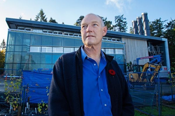
UVic geography professor Johan Feddema’s life-long academic interest in the interactions between human activity and the earth’s surface and climate didn’t start in a lab but in a graveyard.
UVic geography professor Johan Feddema’s life-long academic interest in the interactions between human activity and the earth’s surface and climate didn’t start in a lab but in a graveyard. During a University of Delaware graduate course examining the degree of deterioration of different tombstones, Feddema embarked on his own study—scrutinizing the condition of marble grave markers in Philadelphia and surrounding cities.
At the time deterioration was attributed to acid rain, but when Feddema combined his data with existing data on prevailing winds he discovered a pattern. The worst damage wasn’t in tombstones downwind of the city, but in its industrial core, caused by sulphuric dioxide diffusing into the marble and reacting with the rain to become sulphides that ate away at the stone.
The discovery was noticed in North America and as far away as Europe, where much older statues and monuments were suffering a similar fate. Feddema realized that without incorporating localized data, especially in urban areas, climate model simulations can be inaccurate and yield misleading results.
“Urban issues are rapidly moving to the forefront of challenges posed by climate change,” says Feddema, who came to UVic three years ago to chair its geography department.
Continue reading at University of Victoria.
Image via University of Victoria.


