
The skies were clear, the winds were low, and the lasers aligned. In April, instruments aboard NASA’s Operation IceBridge airborne campaign and the Ice, Cloud and Land Elevation Satellite-2 succeeded in measuring the same Arctic sea ice at the same time, a tricky feat given the shifting sea ice.
The skies were clear, the winds were low, and the lasers aligned. In April, instruments aboard NASA’s Operation IceBridge airborne campaign and the Ice, Cloud and Land Elevation Satellite-2 succeeded in measuring the same Arctic sea ice at the same time, a tricky feat given the shifting sea ice. Scientists have now analyzed airborne and spaceborne height measurements, and found that the two datasets match almost exactly, demonstrating how precisely ICESat-2 can measure the heights of the sea ice’s bumpy, cracked surface.
T“If you look at the height profiles from ICESat-2 and IceBridge, you can tell that they’re almost the same,” said Ron Kwok, a sea ice scientist at NASA’s Jet Propulsion Laboratory in Pasadena, California, and lead author of the new study. “It’s a good pitch for the quality of the ICESat-2 data.”
ICESat-2 uses its laser instrument to measure the heights of Earth’s surface, focusing on the glaciers, ice sheets and sea ice in the planet’s polar regions. When it launched on Sept. 15, 2018, scientists were poised to take measurements from planes and on the ground to check against the satellite’s data, helping to and ensure the accuracy of the measurements from orbit.
Read more at: NASA/Goddard Space Flight Center
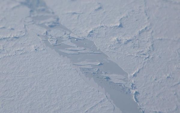
This is a refrozen sea ice lead in the Arctic Ocean. (Photo Credit: NASA/Jeremy Harbeck)


