
The Jason-2/OSTM satellite provided insights into ocean currents and sea level rise with tangible benefits to marine forecasting, meteorology and understanding of climate change. These observations are being continued by its successor, Jason-3.
The Jason-2/Ocean Surface Topography Mission (OSTM), the third in a U.S.-European series of satellite missions designed to measure sea surface height, successfully ended its science mission on Oct. 1. NASA and its mission partners made the decision to end the mission after detecting deterioration in the spacecraft's power system.
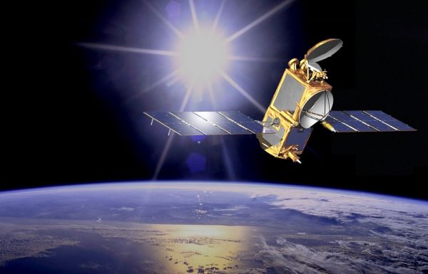
Jason-2/OSTM, a joint NASA mission with the French space agency Centre National d'Etudes Spatiales (CNES), the National Oceanic and Atmospheric Administration (NOAA), and the European Organisation for the Exploitation of Meteorological Satellites (EUMETSAT), launched in June 2008. The mission extended the long-term record of sea surface height measurements started by the NASA-CNES TOPEX/Poseidon and Jason-1 missions. Jason-2/OSTM’s 11-year lifetime well exceeded its three-year design life. These measurements are being continued by its successor, Jason-3, launched in 2016.
"Today we celebrate the end of this resoundingly successful international mission," said Thomas Zurbuchen, associate administrator of the Science Mission Directorate at NASA Headquarters in Washington. “Jason-2/OSTM has provided unique insight into ocean currents and sea level rise with tangible benefits to marine forecasting, meteorology and our understanding of climate change.”
Continue reading at NASA
Image via NASA/JPL-Caltech


