
Researchers show that variations in coastal subsidence caused by the 1700 earthquake may be due to the locations of these subevents.
By combining models of magnitude 9 to 9.2 earthquakes on the Cascadia Subduction Zone with geological evidence of past coastal changes, researchers have a better idea of what kind of megathrust seismic activity was behind the 1700 Cascadia earthquake.
The analysis by Erin Wirth and Arthur Frankel of the U.S. Geological Survey indicates that a rupture extending to just offshore along most of the Pacific Northwest could cause the pattern of coastal subsidence seen in geologic evidence from the 1700 earthquake, which had an estimated magnitude between 8.7 and 9.2.
An earthquake rupture that also contains smaller patches of high stress drop, strong motion-generating “subevents” matches the along-fault variations in coastal subsidence seen from southern Oregon to British Columbia from the 1700 earthquake, the researchers conclude in their study published in the Bulletin of the Seismological Society of America.
Continue reading at Seismological Society of America
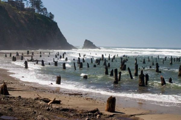
Image via Seismological Society of America


