
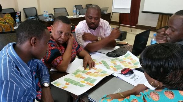
Together with local experts, researchers of the University of Turku, Finland, developed a geospatial mapping method for local level land use planning in Tanzania, based on high-resolution satellite images.
Involving the local communities and including their needs in the planning process creates sustainable and transparent practice of spatial planning in Tanzania.
The researchers of the University of Turku studied land use and the structure-function-benefit chains in the landscape systems of the Tanzanian Southern Highlands in the four-year project funded by the Academy of Finland. The goal of the project was to develop research-based participatory digital tools and methods for land use planning. In Tanzania, digitalisation is moving forward quickly, which creates access to open geospatial data and digital working methods more efficiently and affordably than before.
Digital geospatial data and technologies generate new solutions and business for Tanzania's rapidly developing market, especially if the business idea clearly fits the purpose, involves the locals, develops their agency, and has a positive influence on people’s quality of life, says Associate Professor in Geospatial Research Niina Käyhkö from the Department of Geography and Geology.
Continue reading at University of Turku
Image via University of Turku


