
Team finds stronger tornadoes in clouds with larger peak areas.
The size of a bulge at the top of a thunderstorm’s anvil-shaped cloud may allow researchers to forecast the strength of tornadoes that spawn from such storms, according to a new study in AGU’s journal Geophysical Research Letters.
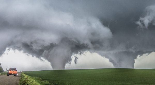
Tornadoes, particularly those with strong winds, pose a serious threat to the property and lives of people in their path. Yet scientists have few tools at their disposal to accurately predict how powerful a forming tornado might be. Instead, meteorologists rely on their own expertise to anticipate a twister’s strength.
“They look at the radar and think ‘the rotation in the storm looks strong, so it’s probably going to produce a strong tornado’,” said Geoffrey Marion, an atmospheric scientist at the University of Illinois at Urbana-Champaign and lead author of the new study. “What we found is that it’s not always the case. It can give you a false sense for what the strength of the tornado might be.”
The vertical growth of a thunderstorm stops at a level in Earth’s atmosphere where the troposphere meets the stratosphere. Here, the clouds spread out and create the characteristic anvil shape of storm clouds. For strong thunderstorms, rapid rising air within the storm, called the updraft, can cross this boundary and establish an overshooting top — a dome-like structure on top of the anvil, which can sometimes look like an ice cream cone.
Continue reading at American Geophysical Union
Image via American Geophysical Union


