
Gulf of Maine Research Institute aims to help residents better understand the state's climate present and future.
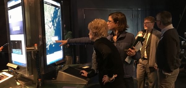
In July, over 60 residents of Cumberland County, Maine, packed into a room in the local Cliff Island Post Office. There, the Gulf of Maine Research Institute (GMRI) led them through an exploration of Maine’s climate past, using it as an entry point to help the residents better understand their state’s climate present and future.
Most people in Maine, including the attendees of this event, live along the Gulf of Maine, where coastal waters have warmedoffsite link more than anywhere else in the United States. This warming water and the ensuing sea level rise contribute to severe storms and king tides (the highest high tides of the year) that hurt the community’s residents, industries, and ecosystems.
To help Maine residents understand and prepare for these threats, GMRI sought out assistance from NOAA’s Environmental Literacy Program (ELP), which supports the use of education as a tool to help people and their communities become more resilient to extreme weather and climate events. Through an ELP grant, GMRI created an interactive learning experience called “Preparing coastal communities for sea level rise.” This program integrated NOAA data into story maps — interactive digital tools that combine geographic data and narrative — to engage people in understanding sea level rise, its causes, its future projections, and its impacts on local communities.
Continue reading at NOAA
Image via NOAA


