
Starting Dec. 28, 2019, Puerto Rico was shaken by a series of hundreds of small earthquakes that culminated on Jan. 7 with a powerful 6.4 magnitude earthquake.
This earthquake caused widespread damage to infrastructure, leaving more than 2,000 people in shelters, nearly 1 million without power, and hundreds of thousands without water.
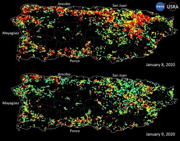
NASA quickly mobilized to provide its expertise and satellite Earth-observing data in support of the response and recovery for this disaster. A team in the agency’s Earth Science Disasters Program began collecting information and coordinating with stakeholders, university partners, and the federal agencies leading the response effort. Agencies included the Federal Emergency Management Agency, the U.S. Geological Survey, the U.S. Department of Health and Human Services, and the Earthquake Engineering Research Institute.
Several data products in support of the disaster response are posted in geographic information system (GIS) format on the NASA Disasters Mapping Portal, which allows the data to be more easily analyzed by other agencies and researchers.
The Advanced Rapid Imaging and Analysis team at NASA’s Jet Propulsion Laboratory and California Institute of Technology in Pasadena, California, have used Synthetic Aperture Radar data from several recent European Space Agency-operated Copernicus Sentinel-1 satellite overpasses of the region to identify potential damage to structures and displacement of the surface. Damage proxy maps can be used to identify damaged structures. Displacement maps show shifts in land surface due to the tectonic activity.
Continue reading at NASA Disaster Response
Image via NASA Disaster Response


