
Approximately twice as much methane is seeping into the atmosphere than the Environmental Protection Agency estimates from oil and gas facilities in the south central U.S., according to a series of measurements taken by meteorologists using NASA aircraft.
Approximately twice as much methane is seeping into the atmosphere than the Environmental Protection Agency estimates from oil and gas facilities in the south central U.S., according to a series of measurements taken by meteorologists using NASA aircraft.
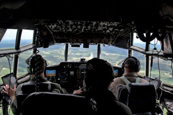
In six flights through the region, researchers used onboard instruments from two planes to collect data roughly 1,000 feet above ground. They flew through massive methane plumes concentrated by regional weather patterns and used sample points and weather models to determine the actual methane concentrations of the plumes. These concentrated plumes were discovered during the Atmospheric Carbon and Transport‐America (ACT-America) campaign, a much broader Penn State led-effort to understand greenhouse sources and sinks.
Researchers found methane from oil and gas facilities to be 1.1 to 2.5 times greater than EPA estimates for the region that includes Arkansas, Texas, Louisiana and Oklahoma. In another key finding, scientists showed how frontal systems in the atmosphere can be used to track methane from much larger areas at the surface because large plumes of methane concentrations come together along the frontal boundary.
Read more at Penn State
Image: In a series of flights during NASA’s ACT-America campaign, Penn State researchers measured methane plumes in the atmosphere over portions of south central U.S. The researchers found measurements of methane emissions from the oil and natural gas industry are higher than EPA estimates. CREDIT: David Kubarek


