
Scientists at The Australian National University (ANU) will lead the development of the first Australian satellite designed to predict where bushfires are likely to start and those that will be difficult to contain.
The new satellite will accurately measure forest fuel load and vegetation moisture levels across Australia. The technology will be specifically tuned to detect changes in Australian plants and trees such as eucalypts, which are highly flammable.
The shoe box-sized satellite will be designed, developed and built at the ANU Mt Stromlo campus with the goal of enhancing Australia-wide bushfire management and prevention.
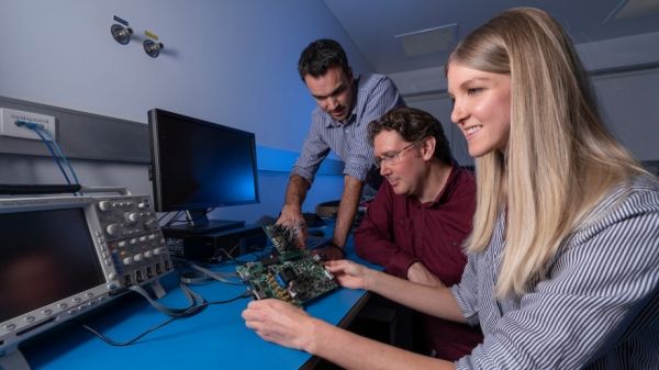
The ANU Institute for Space (InSpace) has awarded $1 million to the team to build an optical system that can detect these changes on the ground through infrared detectors on-board the satellite. The ANU team will partner with other researchers and the private sector to complete the project and launch the new satellite into low-Earth orbit.
Remote-sensing expert Dr Marta Yebra is working with instrument scientist Dr Rob Sharp to plan the development of the satellite. Dr Yebra regularly consults with emergency agencies and response teams across Australia on the bushfire risks posed by fuel loads, and advised NSW Rural Fire Service during the recent unprecedented bushfire season.
Continue reading at Australian National University
Image via Australian National University


