
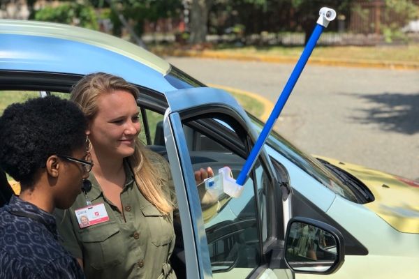
During one of the hottest days of the year in each of the 13 cities, volunteers will drive prescribed routes in the morning, afternoon, and evening with custom-engineered heat sensors mounted on their own cars.
Running barefoot from scorching asphalt to cool grass in the summertime as a kid, you likely learned how cityscapes tend to get much warmer than green spaces. Extreme heat can be fatal, and buildings and pavement increase its threat, making some parts of cities up to 20°F hotter than other parts.
This summer, citizen scientists will map these hot spots, known as “urban heat islands,” in 13 cities across the country to help communities identify areas where they can take action to protect people from heat stress.
The mapping campaigns are part of a collaborative project supported by NOAA’s Climate Program Office (CPO) and jointly coordinated by the National Integrated Heat Health Information System (NIHHIS) — a NOAA and Centers for Disease Control and Prevention effort — and CAPA Strategies LLC. They build on three years of past campaigns that have produced urban heat maps for 11 other U.S. cities.
Continue readig at NOAA Climate Program Office
Image via NOAA Climate Program Office


