
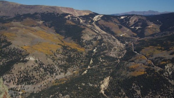
Slow-moving landslides, places where the land creeps sluggishly downhill over long periods of time, are relatively stable — until they aren't.
When they become unstable, which can happen for a variety of reasons — including heavy rain, snowmelt, earthquakes and volcanic activity — landslides can quickly turn catastrophic, especially in populated areas.
"It's important to understand how landslides work and how they respond to environmental changes so that we can better predict when they might transition from this gradual motion to a more rapid, catastrophic failure," said NASA Jet Propulsion Laboratory scientist Eric Fielding, coauthor of a new study focused on just that.
Because landslides are often inaccessible and don't respond uniformly to changes, they can be difficult to predict. But the study team, which includes collaborators from the University of California, Berkeley and the U.S. Geological Survey (USGS), has developed a new technique to make prediction both easier and more accurate.
Continue reading at NASA Jet Propulsion Laboratory
Image via NASA Jet Propulsion Laboratory


