
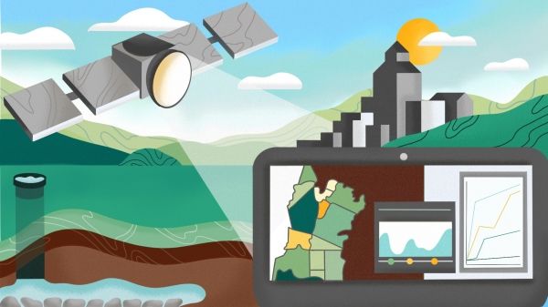
Berkeley Lab scientists pair satellite data with high-resolution monitoring to estimate groundwater depletion across California’s Central Valley.
Groundwater makes up 30 to 50 percent of California’s water supply, but until recently there were few restrictions placed on its retrieval. Then in 2014 California became the last Western state to require regulation of its groundwater. With deadlines starting this year, for the first time water managers in the nation’s premier agricultural region – the state’s Central Valley – are tasked with estimating available groundwater. It’s a daunting technological challenge.
Now a new computational approach developed by scientists at the Department of Energy’s Lawrence Berkeley National Laboratory (Berkeley Lab) offers a high-tech yet simple method: it pairs high-resolution images derived by satellite with advanced computer modeling to estimate aquifer volume change from observed ground deformation. The method could help streamline groundwater tracking across a region, once multiple local management agencies begin submitting water management plans to comply with the 2014 Sustainable Groundwater Management Act (or SGMA, pronounced “sigma).
Continue reading at Lawrence Berkeley National Laboratory
Image via Lawrence Berkeley National Laboratory


