
Unmanned systems helping fill scientific data gaps during COVID-19.
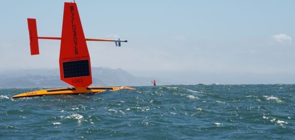
Three shiny, orange-red autonomous surface vessels set out on the water from Alameda, California, in May bound for the Bering Sea where they will survey the nation’s largest fish stock and monitor changing weather and ocean conditions in the Arctic.
The surface vessels are part of an armada of autonomous (unmanned) ocean vehicles NOAA is deploying this summer in the Pacific, Arctic and Atlantic oceans to provide high-quality environmental data for resource management and weather forecasting.
“We are accelerating the use of unmanned systems during COVID-19 to meet critical mission needs at a time when some of our ship and aircraft missions have been postponed for safety reasons,” said retired Rear Adm. Tim Gallaudet, assistant secretary of commerce for oceans and atmosphere and deputy NOAA administrator. “The innovative systems will provide valuable information for communities at a time when it may be difficult to do so by other means.”
Continue reading at NOAA
Image via NOAA


