
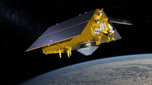
A new satellite designed to capture detailed measurements of sea-surface height and other ocean features is scheduled to launch in November 2020.
The Sentinel-6 Michael Freilich satellite will help provide enhanced hurricane intensity forecasts and improved information of Earth’s climate.
This joint international mission is set to launch November 10 from Vandenberg Air Force Base in California.
Sentinel-6 Michael Freilich will be the fourth in a 28-year series of ocean altimeter missions, which include TOPEX/Poseidon – Jason-1, OSTM/Jason-2 and Jason-3.
Data from the mission will be critical in NOAA's efforts to track sea-level rise, study tsunami dynamics, the El Niño Southern Oscillation, and more accurately predict hurricane intensity. We talked with Eric Leuliette, NOAA's program scientist for Sentinel-6 Michael Freilich about the agency's planned use of the data.
Continue reading at NOAA National Environmental Satellite, Data, and Information Service (NESDIS)
Image via NOAA National Environmental Satellite, Data, and Information Service (NESDIS)


