
NOAA satellites provide critical information for forecasting and tracking tropical storms and hurricanes.
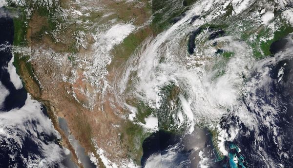
Atlantic hurricane season got off to an early and busy start this year and has been breaking records along the way. On August 6, NOAA issued its updated 2020 Atlantic Hurricane Season Outlook, predicting the possibility of an “extremely active” Atlantic Basin hurricane season. So far, the 2020 season has indeed been an active one, with eleven named storms through August 14. In fact, 2020 is shaping up to be one of the most active Atlantic hurricane seasons on record.
Let’s review the 2020 season so far as seen from NOAA’s fleet of Earth-observing satellites.
MAY: Hurricane season doesn’t officially begin until June 1, but May brought two named storms. This is the sixth year in a row that a named storm has formed before June.
Tropical Storm Arthur formed on May 17, becoming the first named storm of the 2020 Atlantic hurricane season. On May 27, Tropical Storm Bertha quickly developed and made landfall to the east of Charleston, South Carolina, in less than two hours. This was only the sixth time since 1851 that two named storms formed before June 1.
Continue reading at GOES-R Series Program Office
Image via GOES-R Series Program Office


