
Routing apps such as Google Maps or Nokia’s Here platform could offer a cost-effective way of calculating emission hotspots in real time, say researchers at the University of Birmingham.
Routing apps such as Google Maps or Nokia’s Here platform could offer a cost-effective way of calculating emission hotspots in real time, say researchers at the University of Birmingham.
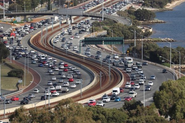
These apps routinely capture detailed information as motorists use the GPS technology to plan and navigate routes. This data could be invaluable for researchers and planners who need to better understand traffic flows on busy roads, according to new research published in Weather, the journal of the Royal Meteorological Society.
Current emissions data from road transport is collated from a number of different sources by the National Atmospheric Emissions Inventory and this is fed into annual reports to demonstrate compliance with emissions targets. Many of these traditional air quality models rely on the assumption that traffic is freely flowing at the legal speed limit – whereas in many areas, traffic flow will vary through the day. These models also overlook finer-grained detail from individual roads or junctions that might be emissions hotspots at particular times of the day.
Read more at University Of Birmingham
Image by Hire Me. Link in About Me from Pixabay


