
Many state and local boundaries around the world—including many in the United States—are the product of rivers.
For thousands of years, rivers have shaped the world’s political boundaries. A new study and research database by geographers Laurence Smith and Sarah Popelka details the many ways that rivers shape modern borders.
The researchers merged a global database of large rivers (30 meters or wider)—derived from 7,300 Landsat scenes—with maps of international, state, and local boundaries. In the process, they created a new database of river borders that has interesting historical elements, but also relevance for modern management of water, land, and pollution.
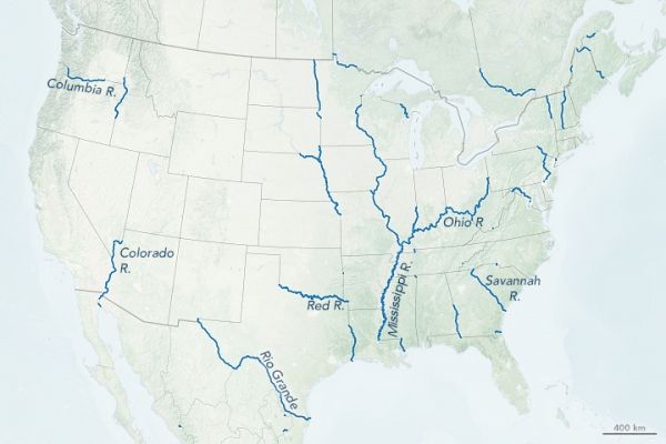
According to the analysis by Smith and Popelka, rivers make up 23 percent of international borders, 17 percent of the world’s state and provincial borders, and 12 percent of all county-level local borders. The map at the top of this page, based on their database, shows all of the U.S. states with borders defined by rivers (in blue). Generally eastern, more densely populated states have more river borders. While no state is entirely bounded by rivers, a few come close, notably Vermont, Iowa, Texas, Minnesota, and Illinois. The very short borders that look more like dots than lines, such as the one along the Oklahoma-Arkansas border, are places where large rivers cross a state border but only follow the border for a short distance.
Continue reading at NASA Earth Observatory
Image via NASA Earth Observatory


