
Newly created map indicates openings in the European forest canopy.
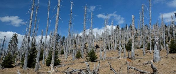
The forest canopy, the closed vegetation cover consisting of treetops, is rapidly declining according to a research team from the Technical University of Munich (TUM) and the University of Natural Resources and Applied Life Sciences, Vienna. The team used satellite images, to create the first high-resolution map of canopy openings in Europes forests and reached the conclusion that the canopy of more than 36 million forest areas has been lost over the past 30 years.
Rupert Seidl (Professor of Ecosystem Dynamics and Forest Management in Mountain Landscapes at the TUM) and his colleague Cornelius Senf (lead author of the study) for the first time produced a high-resolution map of all openings in the canopy of European forests. They have analyzed more than 30,000 satellite images and identified more than 36 million areas where large trees have given way to open spaces of young trees. This corresponds to a loss of the canopy in 17 percent of the European forests in 30 years.
The reasons for the canopy openings range from regulated wood use to wind storms and forest fires. The team also found that the size of the canopy openings varied widely from area to area.
Continue reading at Technical University of Munich
Image via Technical University of Munich


