
To stop biodiversity loss, Canada recently committed to protecting 30% of its land and sea by 2030. But making conservation decisions about where to locate new protected areas is complicated.
To stop biodiversity loss, Canada recently committed to protecting 30% of its land and sea by 2030. But making conservation decisions about where to locate new protected areas is complicated. It depends on data both about biodiversity and about a range of benefits (e.g. freshwater, climate regulation, recreation) that people get from nature. Surprisingly, despite the size of the country, new mapping suggests that less than 1% of Canada’s land (0.6% of total area or approximately 56,000 km2) is a hotspot, providing all these benefits in one place. Moreover, the study published today in Environmental Research Letters suggests that some of the most critical areas where people receive these key benefits from nature do not occur within currently protected areas and may be threatened by current or future natural resource extraction.
“This research is especially timely as it should help all levels of government design conservation plans that ensure that both people and nature thrive,” says Elena Bennett, from McGill University’s Bieler School of the Environment and one of the authors in a multi-institutional team that included researchers from Universities of British Columbia, McGill and Carleton and from the Yellowstone to Yukon Conservation Initiative (Y2Y).
Read more at: McGill University
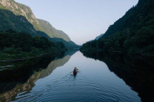
Despite the size of the country, new mapping suggests that less than 1% of Canada's land (0.6% of total area or approximately 56,000 km2) provides all ecosystem services (e.g. freshwater, climate regulation, recreation) in one area. (Photo Credit: Jake Dyson)


