
For the first time, scientists have successfully used satellite cameras coupled with deep learning to count animals in complex geographical landscapes, taking conservationists an important step forward in monitoring populations of endangered species.
For the first time, scientists have successfully used satellite cameras coupled with deep learning to count animals in complex geographical landscapes, taking conservationists an important step forward in monitoring populations of endangered species.
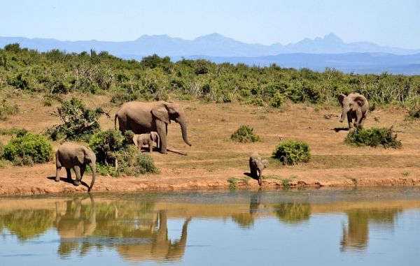
For this research, the satellite Worldview 3 used high-resolution imagery to capture African elephants moving through forests and grasslands. The automated system detected animals with the same accuracy as humans are able to achieve.
The algorithm that enabled the detection process was created by Dr Olga Isupova, a computer scientist at the University of Bath. The project was a collaboration with the University of Oxford and the University of Twente in the Netherlands.
Dr Isupova said the new surveying technique allows vast areas of land to be scanned in a matter of minutes, offering a much-needed alternative to human observers counting individual animals from low-flying airplanes. As it sweeps across the land, a satellite can collect over 5,000 km² of imagery every few minutes, eliminating the risk of double counting. Where necessary (for instance, when there is cloud coverage), the process can be repeated the next day, on the satellite’s next revolution of Earth.
Read more at University of Bath
Photo Credit: cocoparisienne via Pixabay


