
Researchers work to map shallow waters with freely available data and cloud computing.
The shallow waters around islands and continental coastlines are important for human activities and for the health of many marine species. Yet these areas are constantly evolving and notoriously challenging and time-intensive to map. For several years, remote sensing scientists have worked to change that paradigm. A recent study led by NASA-funded researchers shows how it might be done with freely available satellite data and cloud computing.
For centuries, marine surveyors relied on shipborne tools—first sounding lines, then sonar—to decipher the depth and shape of the seafloor, or bathymetry. Starting with U.S. Landsat satellites in the 1970s and more recently with European Sentinel satellites, researchers have been slowly developing ways to derive bathymetric information from satellite images.
Different wavelengths of light penetrate water to differing depths, with shorter wavelengths (such as blue and green) penetrating farther than longer wavelengths (near infrared, shortwave infrared). When water is clear and the seafloor is bright, scientists can estimate depth by measuring the amount of reflectance observed by a satellite and then modeling how far the light should penetrate.
Continue reading at NASA Earth Observatory
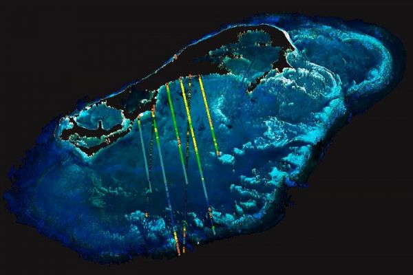
Image via NASA Earth Observatory


