
As our climate warms, ice melting from glaciers around the world is one of main causes of sea-level rise.
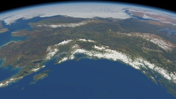
As well as being a major contributor to this worrying trend, the loss of glacier ice also poses a direct threat to hundreds of millions of people relying on glacier runoff for drinking water and irrigation. With monitoring mountain glaciers clearly important for these reasons and more, new research, based on information from ESA’s CryoSat mission, shows how much ice has been lost from mountain glaciers in the Gulf Alaska and in High Mountain Asia since 2010.
Monitoring glaciers globally is a challenge because of their sheer number, size, remoteness and rugged terrain they occupy. Various satellite instruments offer key data to monitor change, but one type of spaceborne sensor – the radar altimeter – has seen limited use over mountain glaciers.
Traditionally, satellite radar altimeters are used to monitor changes in the height of the sea surface and changes in the height of the huge ice sheets that cover Antarctica and Greenland. They work by measuring the time it takes for a radar pulse transmitted from the satellite to reflect from Earth’s surface and return to the satellite. Knowing the exact position of the satellite in space, this measure of time is used to calculate the height of the surface below.
Continue reading at European Space Agency
Image via European Space Agency


