
Hurricane Ida left behind large new patches of open water that scientists will be watching closely to see if vegetation and healthy marshes return.
Hurricane Ida may have moved on, but the web of problems the powerful hurricane left behind after striking southern Louisiana remain. In many of the hardest-hit communities, access to power, air conditioning, and gas remains a challenge. Large numbers of homes have been destroyed or severely damaged. Some key roads and bridges are out, and returning residents are facing curfews and boil water warnings.
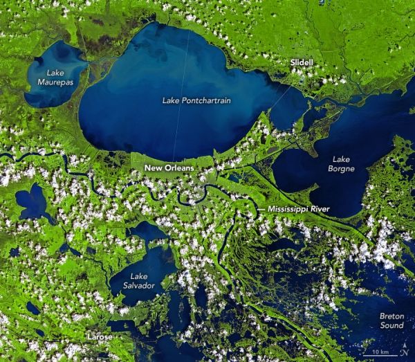
Five days after catastrophic storm surge, winds, and downpours pummeled the Mississippi River Delta, the Operational Land Imager (OLI) on Landsat 8 acquired imagery of the storm-damaged region. The false-color images above show a portion of far southern Louisiana, including the Barataria Basin and Breton Sound, on September 19, 2015 (left) and September 3, 2021 (right). While Landsat 8 collects new imagery of this area every two weeks, more recent images from 2016-2020 had significant cloud cover.
The image combines red, near-infrared, and short-wave infrared wavelengths (bands 5-4-3) to make it easier to distinguish between water (dark blue) and vegetation (green). Water with more suspended sediment appears lighter blue. The suspended sediment looks brown in the natural-color version of the same image (below).
Continue reading at NASA Earth Observatory
Image via NASA Earth Observatory


